1
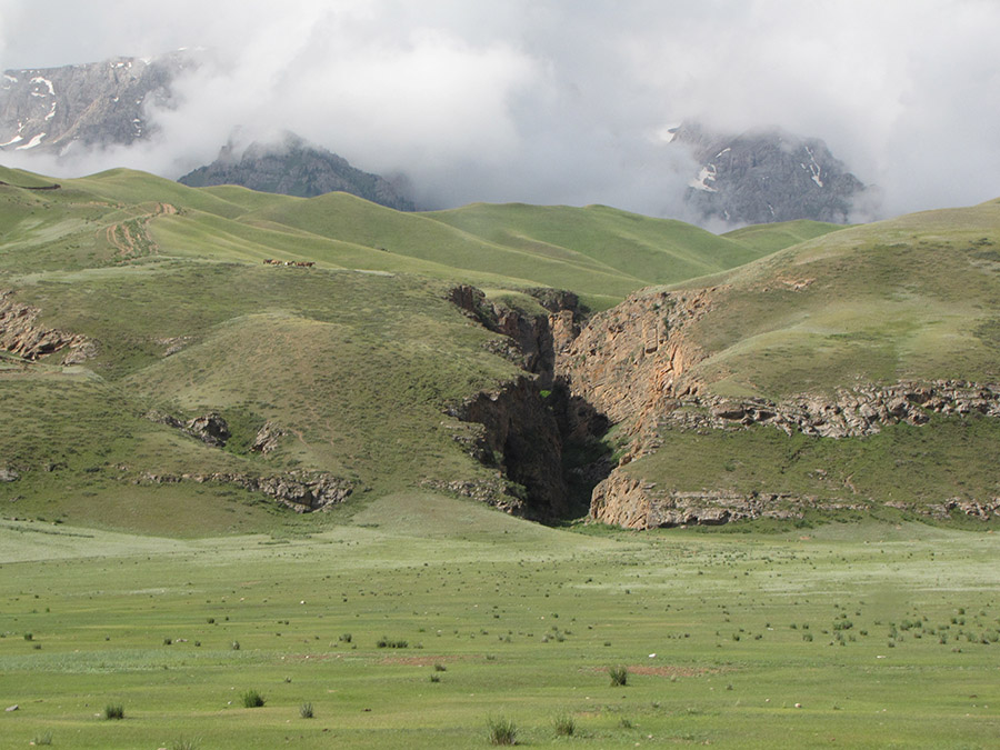
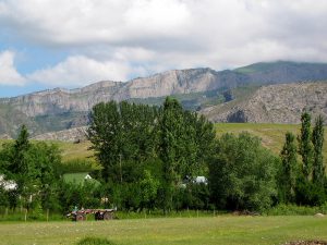
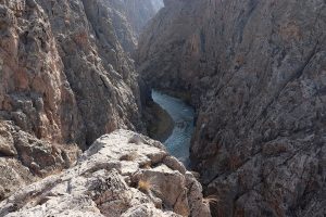
The Moldo-Too mountain ridge in the Inner Tien Shan, in the central part of Kyrgyzstan to the south of the Son-Kol lake.
Moldo-Too mountain is located in the latitudinal direction from west to east, between the valleys of the large rivers Kokomeren and Naryn.
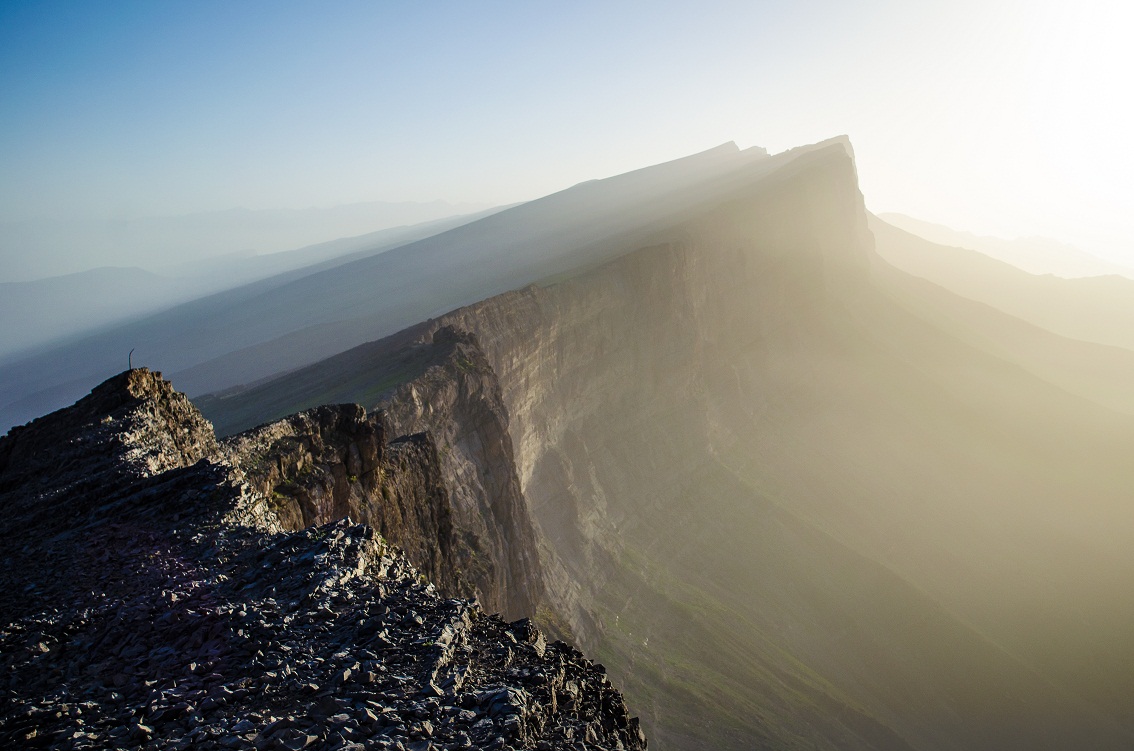
The length of the ridge is about 150 km. The maximum height is 4185 m.
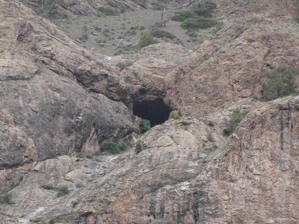
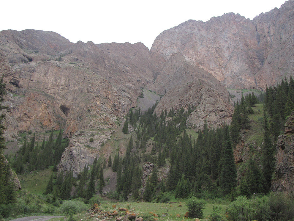
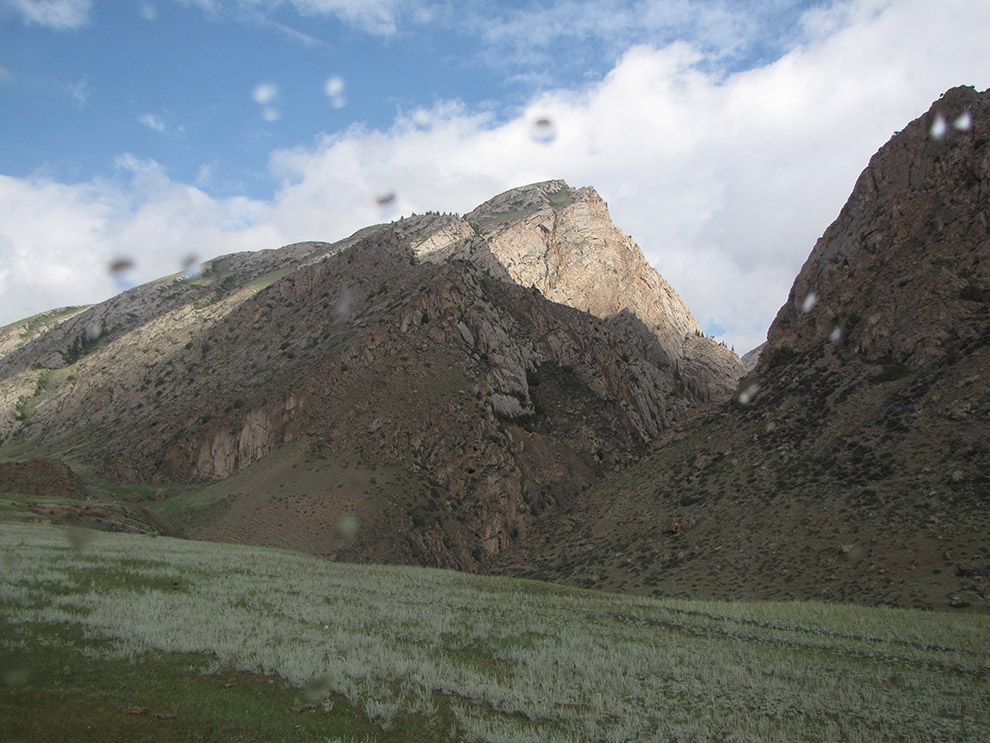
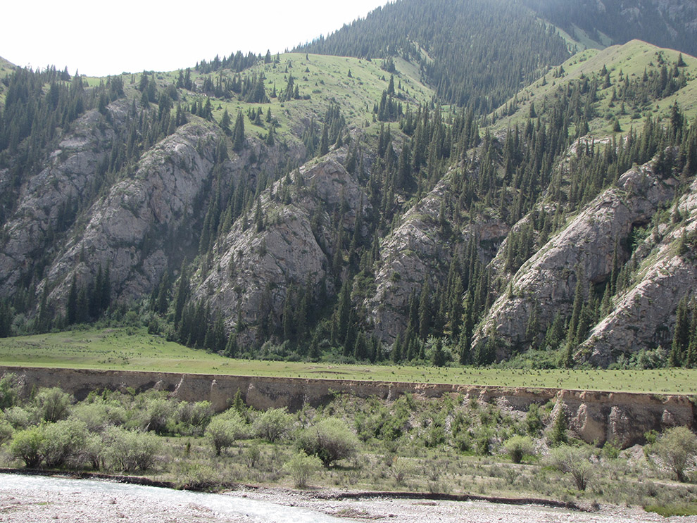
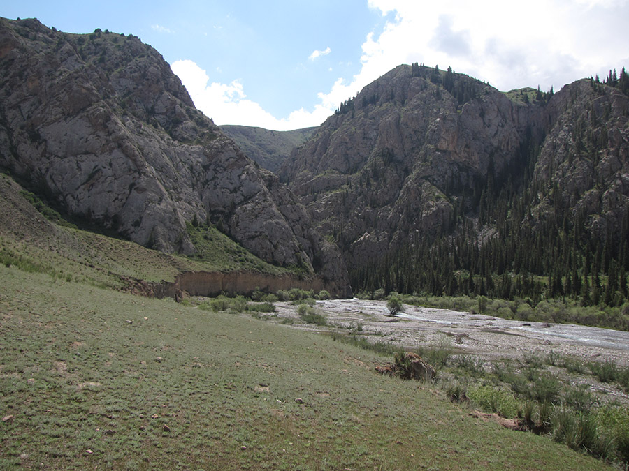
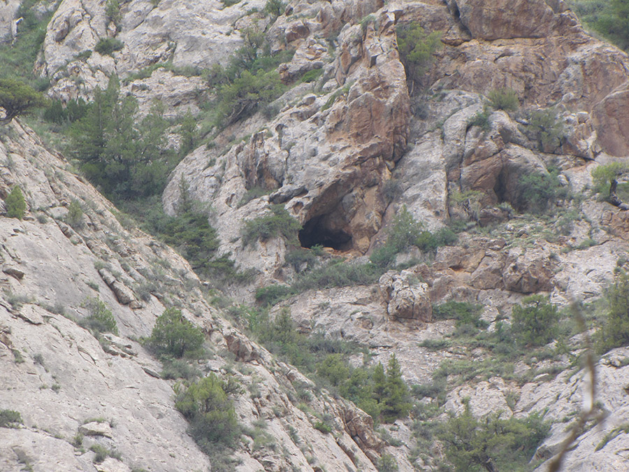
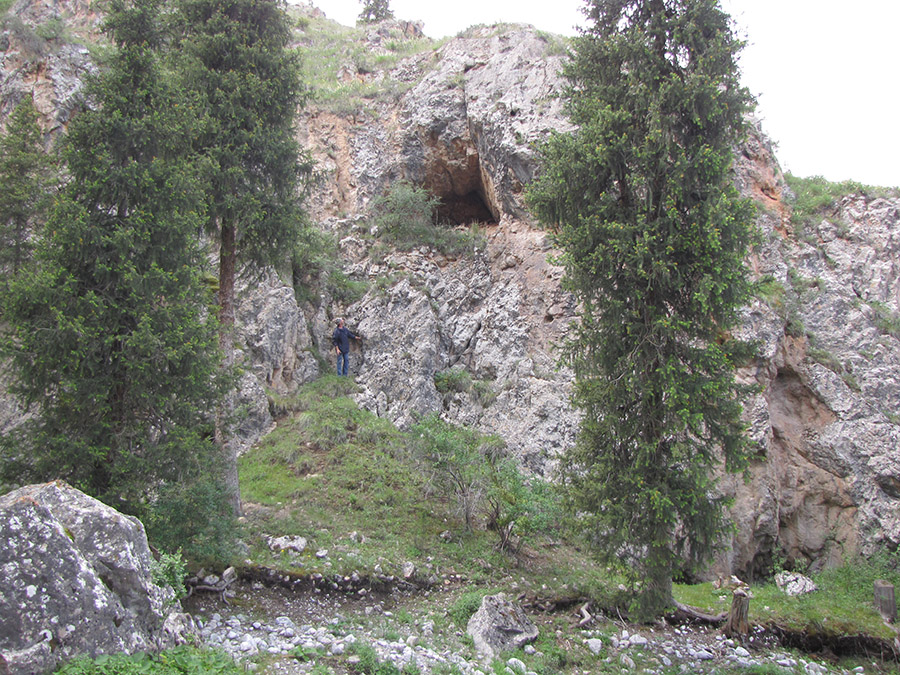
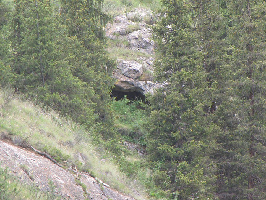
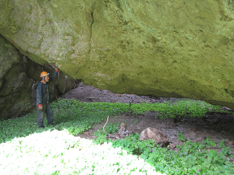
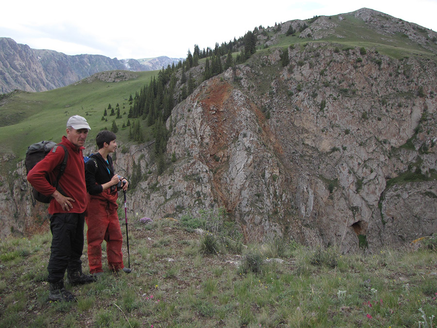
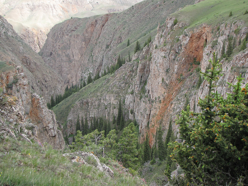
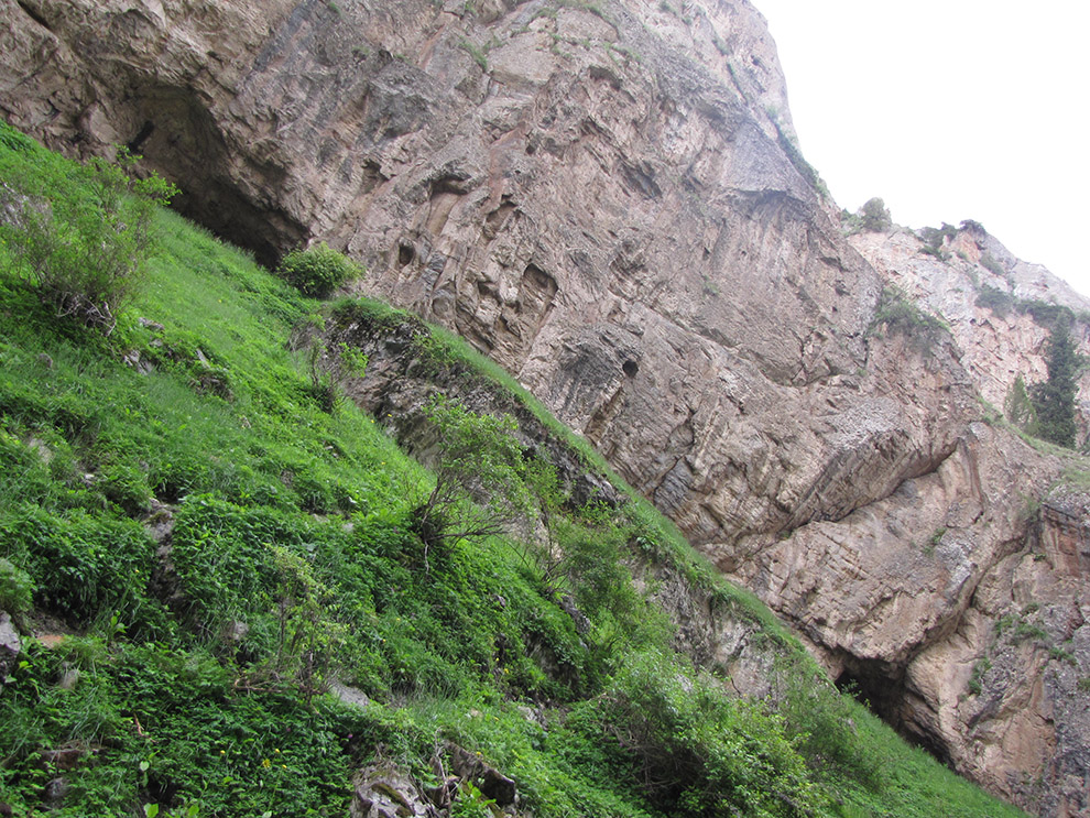
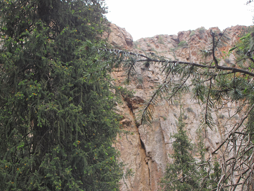
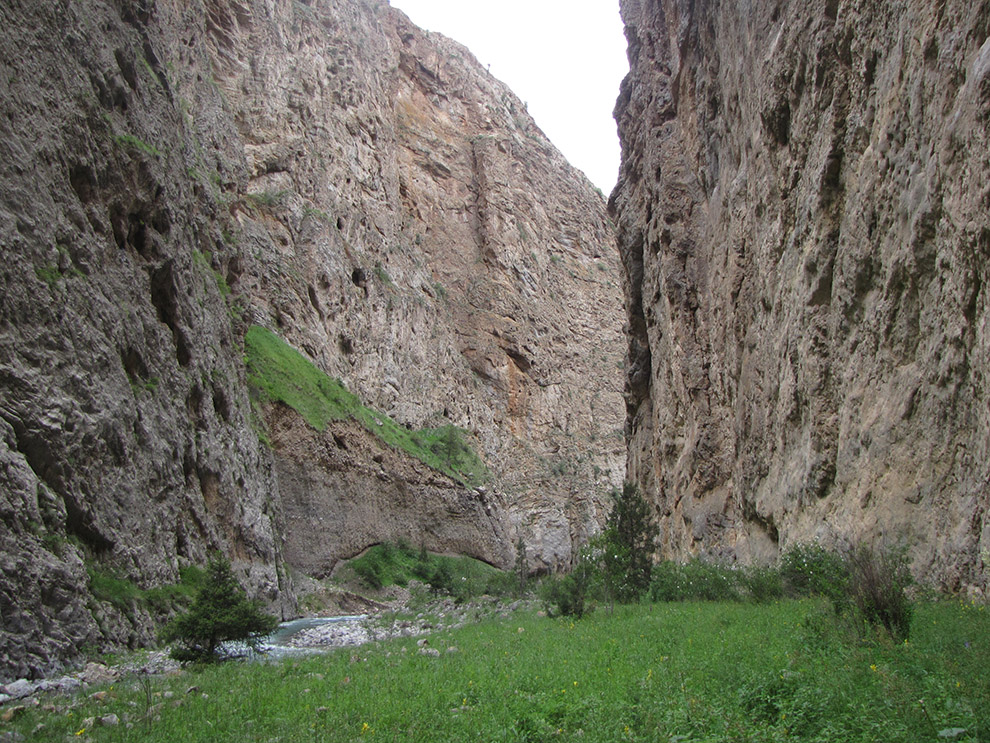
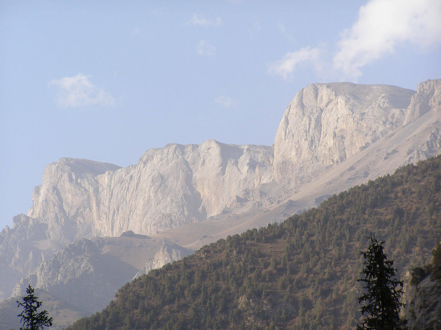
This is the only ridge in Tien Shan, which is completely composed of limestone.
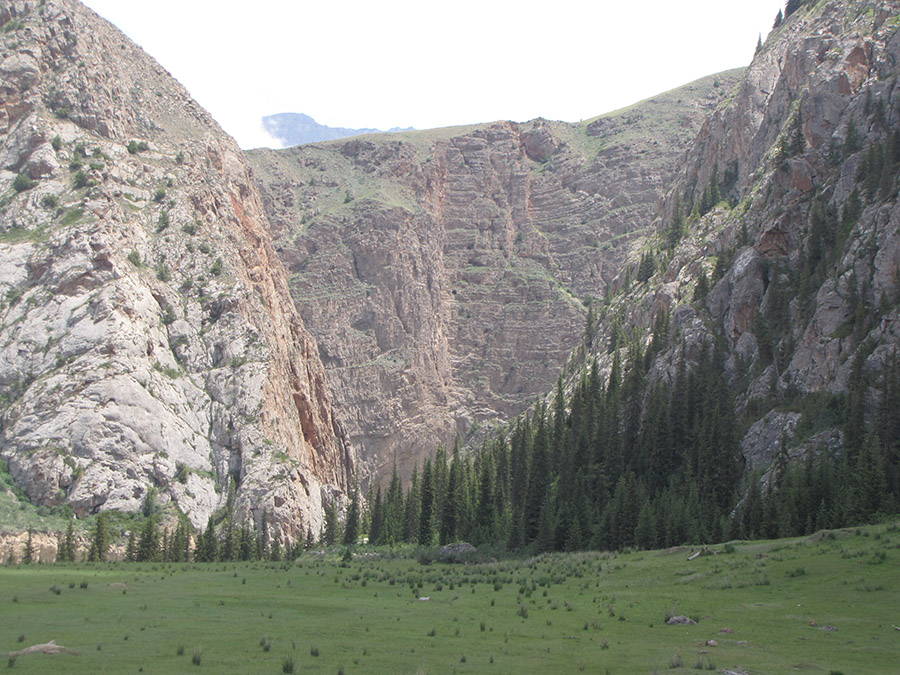
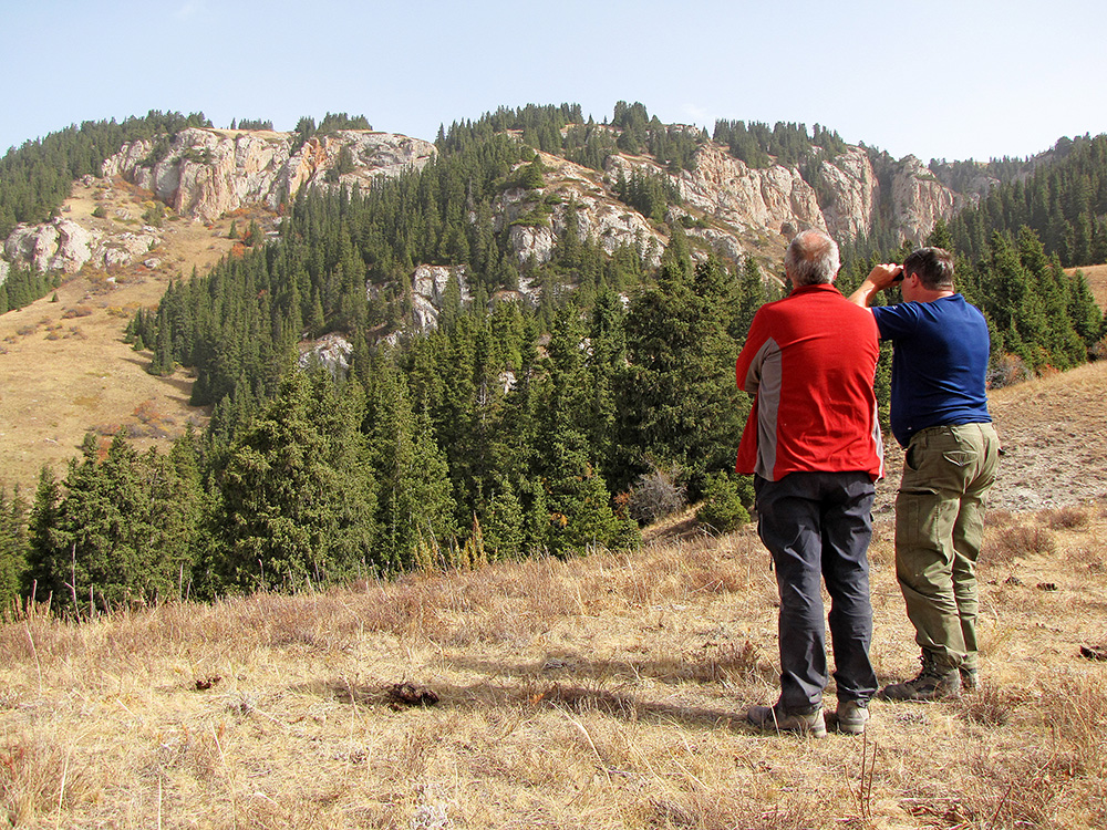
Almost the whole range and its spurs are made up of limestones of Carboniferous age of rather large thickness.
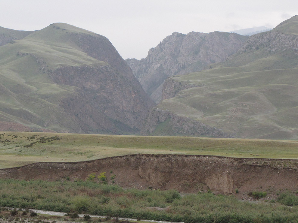
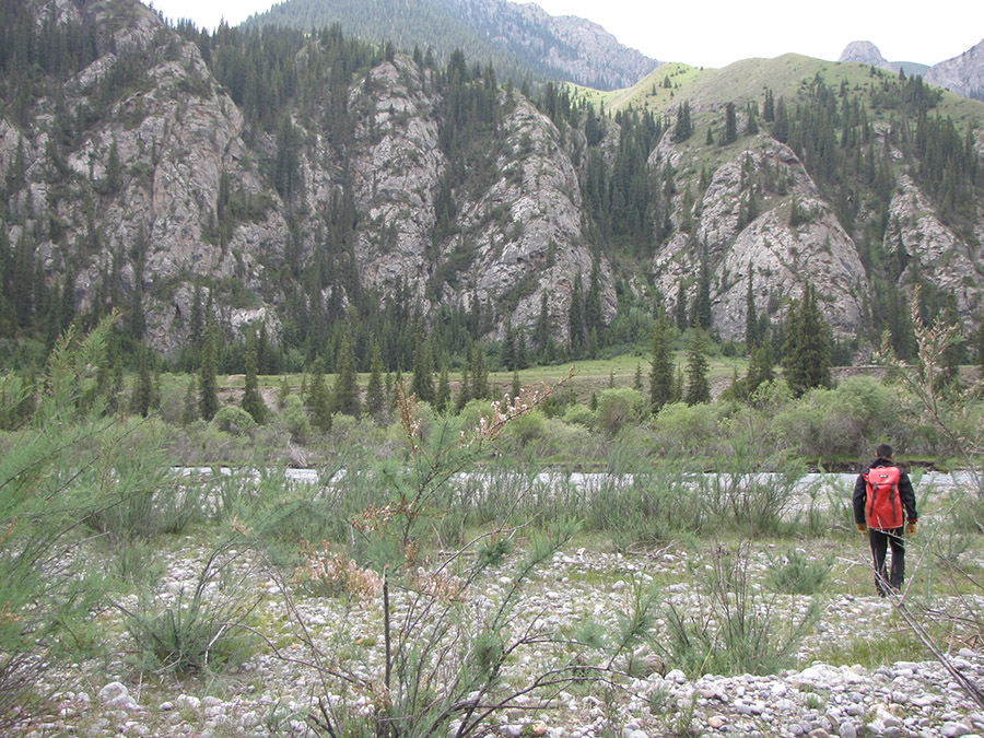
In the lower parts of the slopes are mountain steppes and meadows, above – sections of spruce forests, juniper forests.
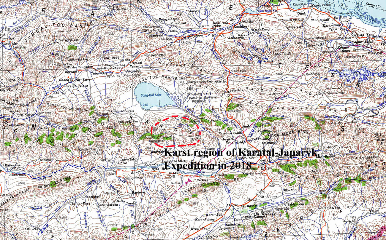
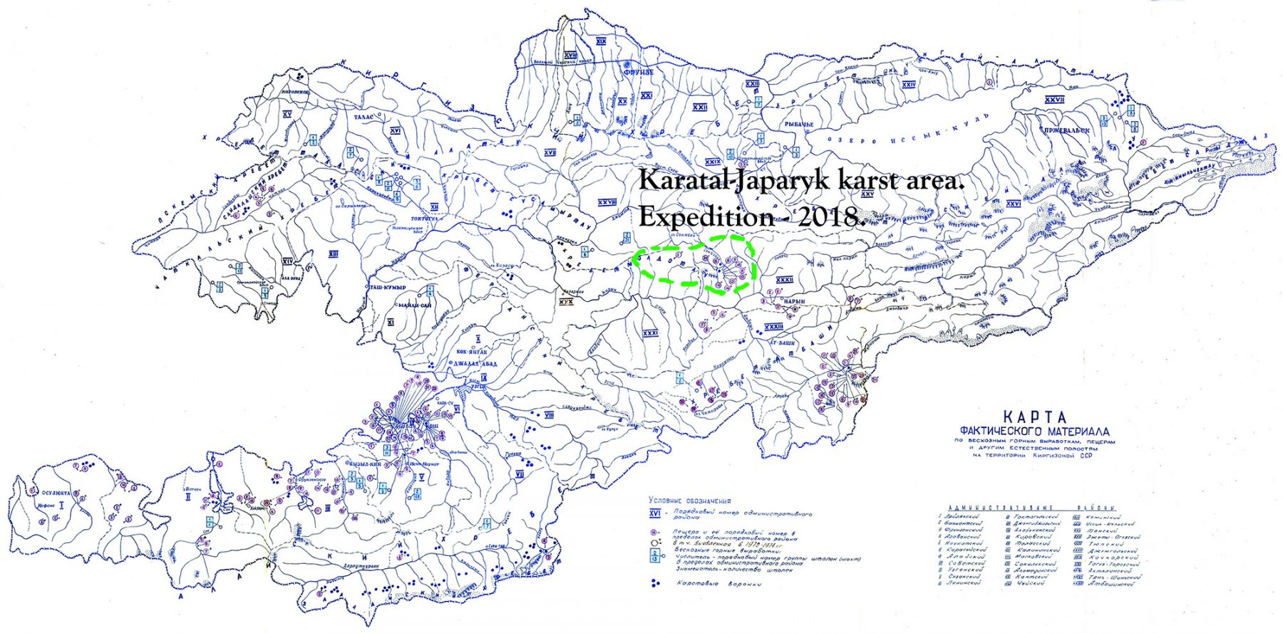
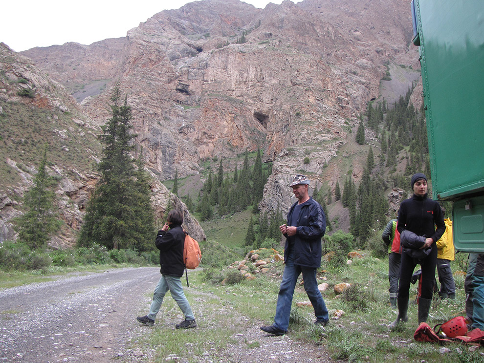
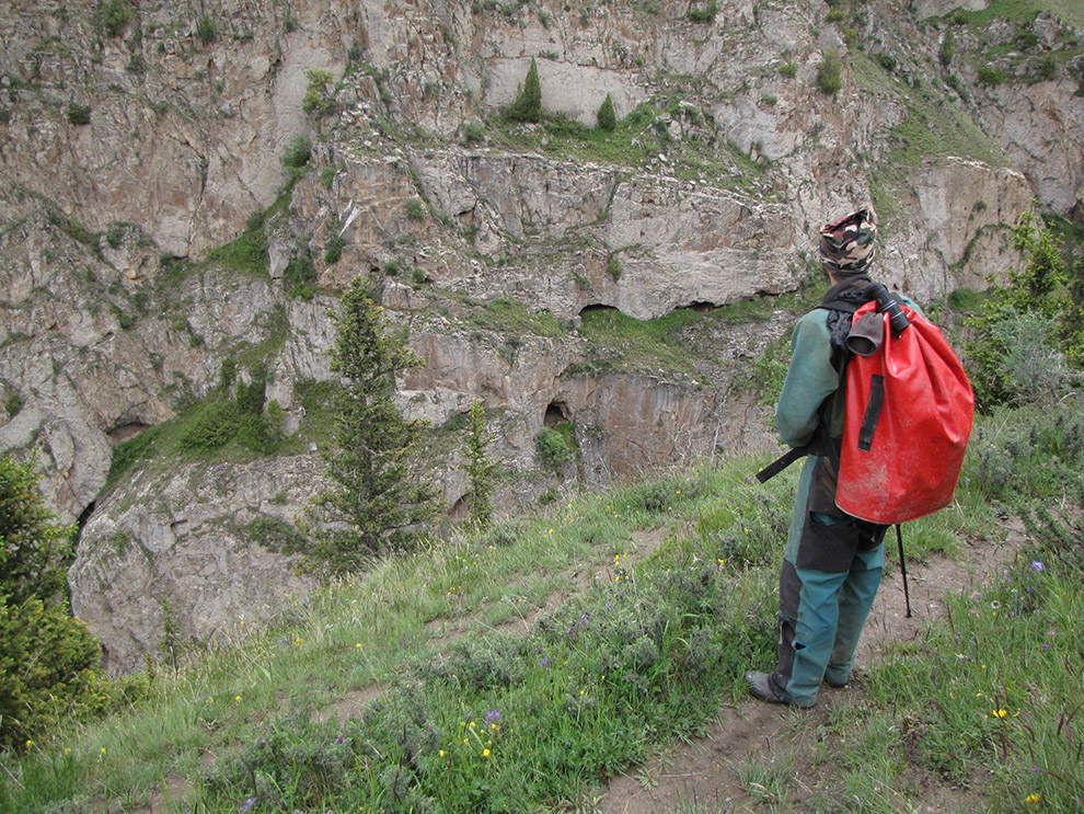
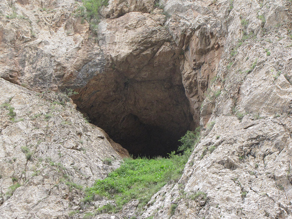
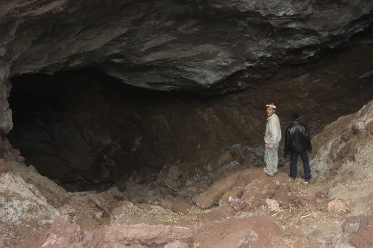
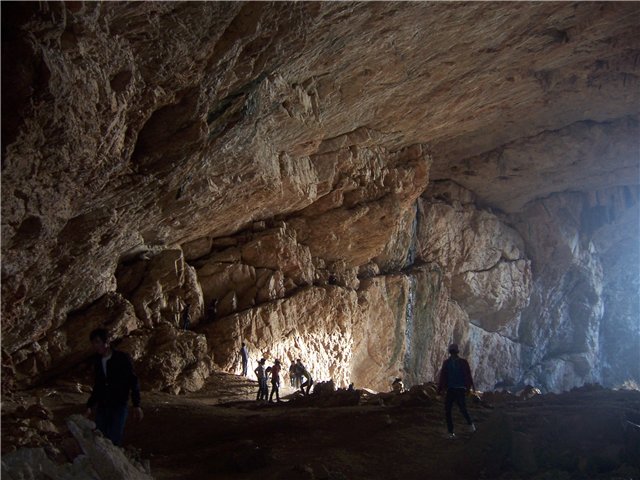
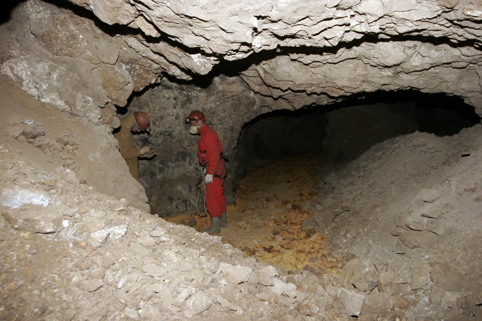
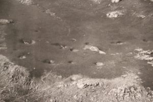
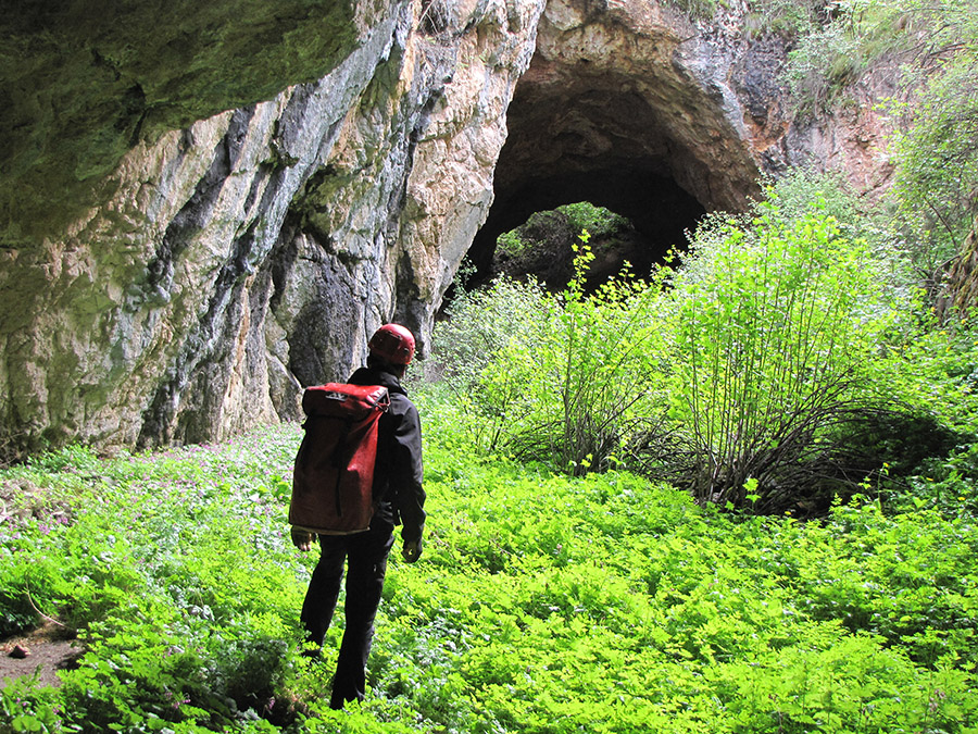
The huge karst areas of Moldo-Too require long-term methodical research using off-road vehicles, horses or donkeys for equipment and gearing to difficult terrain.
Our foundation has received permission for research, and now plans to begin speleological studies in the karst areas of Moldo-Too as early as June-July 2018.
The first expedition is planned for the period from June 21 to July 7, 2018.
Preliminary plan of the expedition
1 day. (21. 06.) – Meeting at the airport. Accommodation in hotel Bishkek.
Briefing and presentation of the expedition.
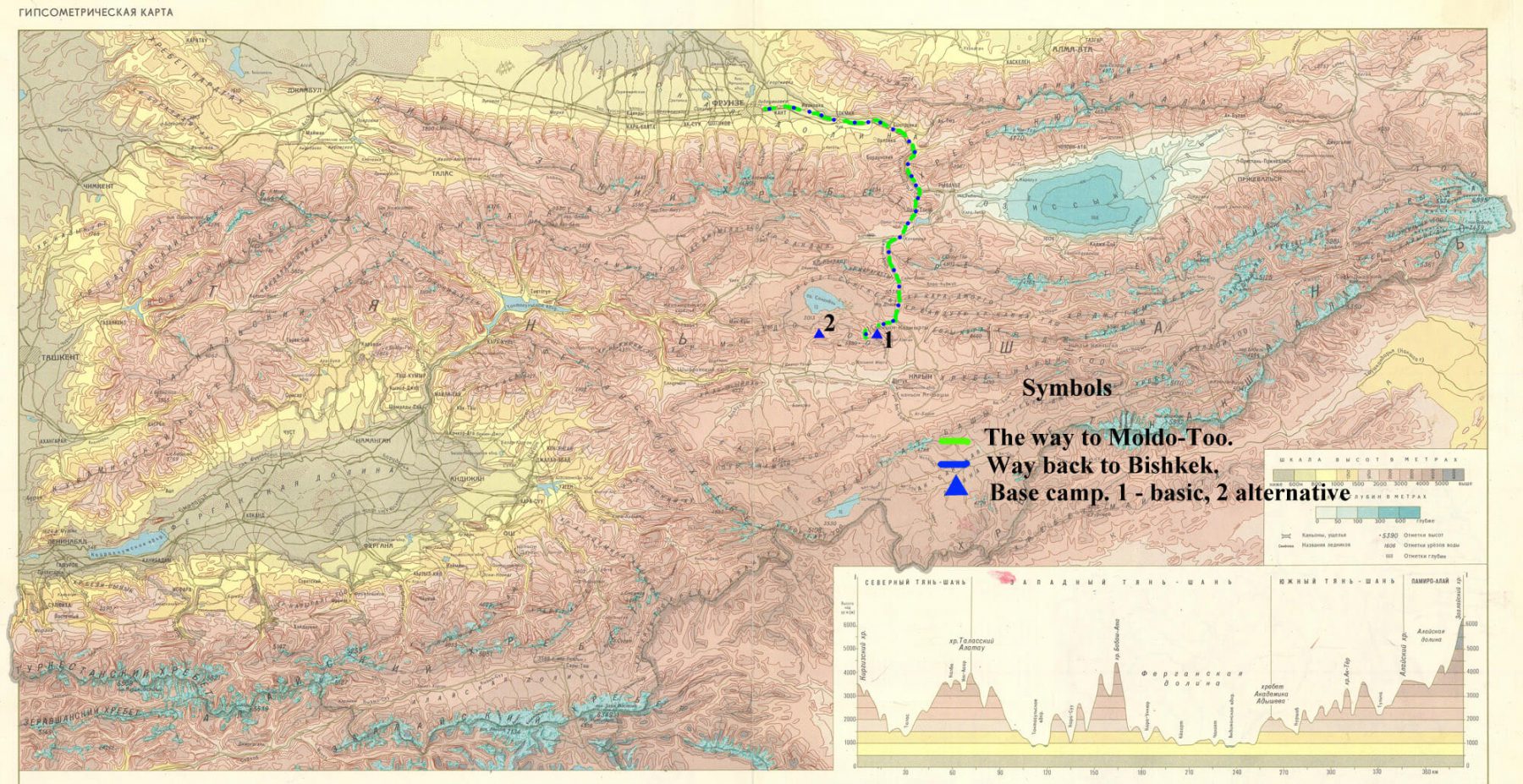
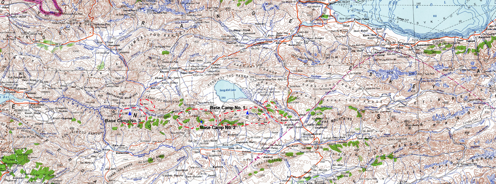
Day 2 (22.06.) – Departure to the expedition. The route is indicated on the map.
The distance to the base camp is about 300 km.
Arrival to the place for the base camp. Base camp No. 1 is planned to be located in the Karatal-Zhaparyksok reserve in the valley of the Karatal river.
The base camp is surrounded by limestone massifs. From here it is very convenient to make radial trips to surrounding limestone massifs.
Here are wild untouched places. In the summer period, here there are temporary stands of shepherds.
In the base camp, it is necessary to discuss the further plan of the expedition.
Perhaps the expedition is divided into 2 groups. One group will work in the base camp area No. 1, and the second group will move to other karst areas of the Moldo-Too massif.
It is assumed that the second field team will work using one vehicle to survey potential karst areas on the mountain range.
Karst sites with possible transport logistics. That is, these are the areas where our car can drive.
– Research in the valley of the River Kurtka and in the area of the mountain pass Moldo-Ashu. Base camp number 2.
– Study in the valley of the river Min-Kush (western part of Moldo-Too). Base camp number 3.
The route of the expedition to Moldo-Ashu and Min-Kush is shown on the map ……………….
The second field group can work autonomously. The arsenal of the group will also have all the necessary equipment for the base camp.
12-13 day (2.07.-3.07.) – Return of the second field group to Base Camp No. 1.
Day 14 (4.07.) – Analysis of the results of the expedition.
Day 15 (5.07.) – Collection of Base Camp No. 1. Departure to Lake Issyk-Kul in the small town of Kaji-Sai (the southern shore of the lake) or in the city of Cholpon-Ata (northern shore of the lake).
Day 16 (5-6.07.) Rest on the Issyk-Kul lake.
Day 17 (6.07.) – Return to Bishkek. Summing up the results of the expedition. Exchange of field material and photos.
Day 18 (7.07.) – Departure to the airport.