1
We invite cavers and researchers to take part in a speleological expedition to a new karst area.
Only a good and experienced team of cavers will be able to explore the caves in this hard-to-reach area.
Preliminary dates of the expedition of first half of September 2021. Expedition dates are not fixed.
If you have a speleoclub, speleo federation or a separate team, you can choose the dates convenient for you.
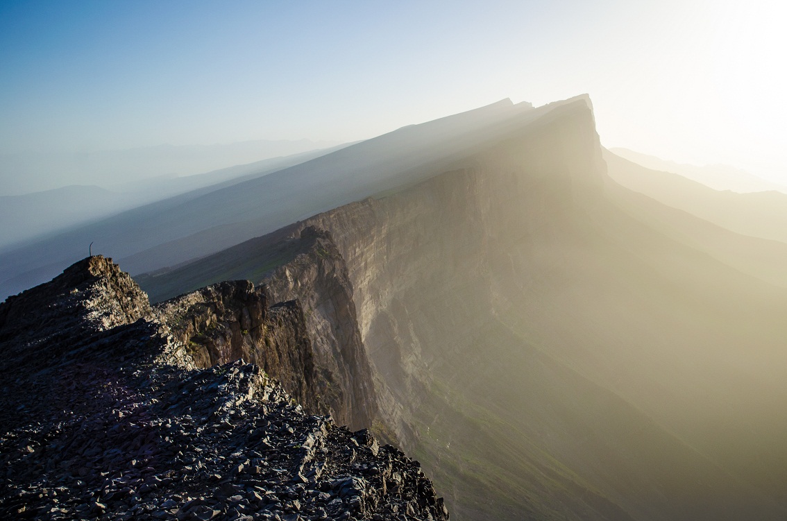
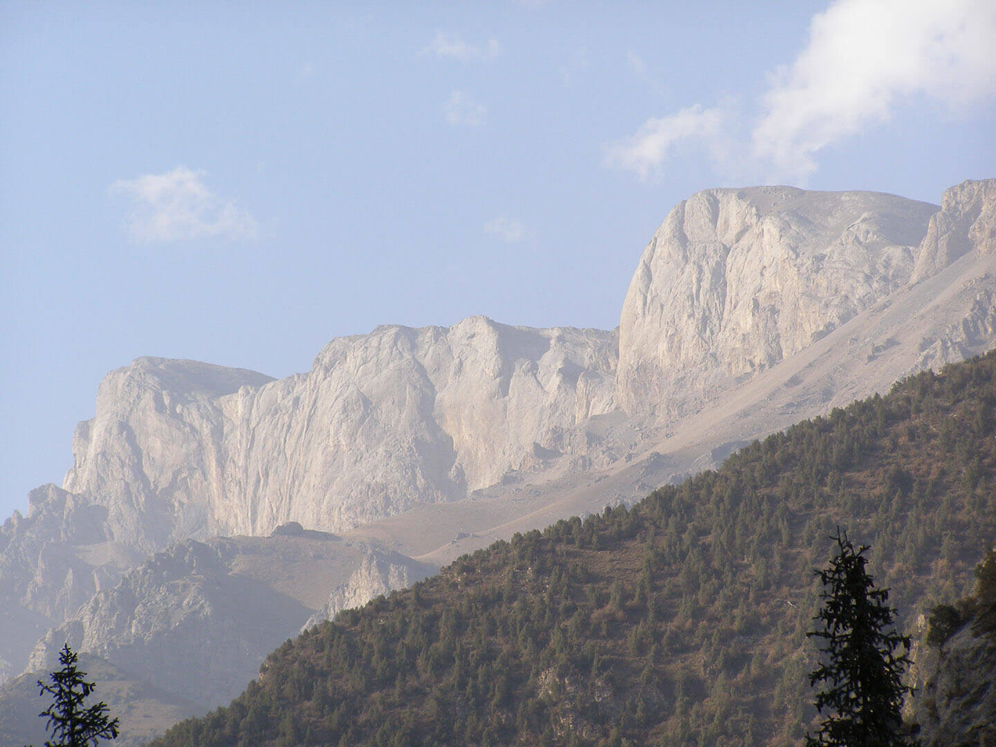
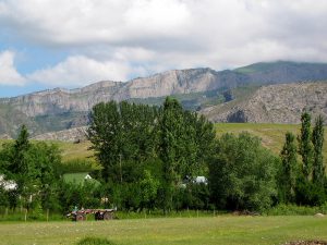
Buzbu-Too is a mountain range in Western Tien-Shan, which almost entirely consists of limestone of Carboniferous and Devonian age (D-C). The ridge is located on the border between Ferghana Valley and Chatkal mountain range. The highest point of the mountain is 2750 m. The massif is 35 km long and 10 to 25 km wide. Buzbu-Too stands apart in the form of a large limestone massif, to the southwest of a junction of two large mountain ranges – At-Oinoksky and Chatkalsky, distinguishing it from the surrounding ridges. Geographically, the region belongs to the Western Tien Shan, but by its geological structure it is a classic example of Devonian and Carboniferous limestones of the Middle Tien Shan. The nearest big settlement is Kerben village.
The most attractive karst indicators for cavers are water sources that drain the limestone massif around the perimeter. One of the water sources was investigated in June 2018. Water flow rate was about 30 liters per second. People living in surrounding villages talk about other similar large springs that form waterfalls. The water gushes out of holes in a limestone rock forming a waterfall about 10 m high.
Drainage takes place at the contact of coal-bed and Devonian limestones, which is a thin layer of argelite. The place is considered sacred among locals. The largest flow rate of the source observed in April, May and June, the minimum flow rate occurs in September. In winter, the source change into a small stream, that goes on draining the massif, forming a spectacular ice waterfall. This indicates, that even in wintertime there is a water exchange process in the hydrogeological system of the Buzbu-Too karst massif.
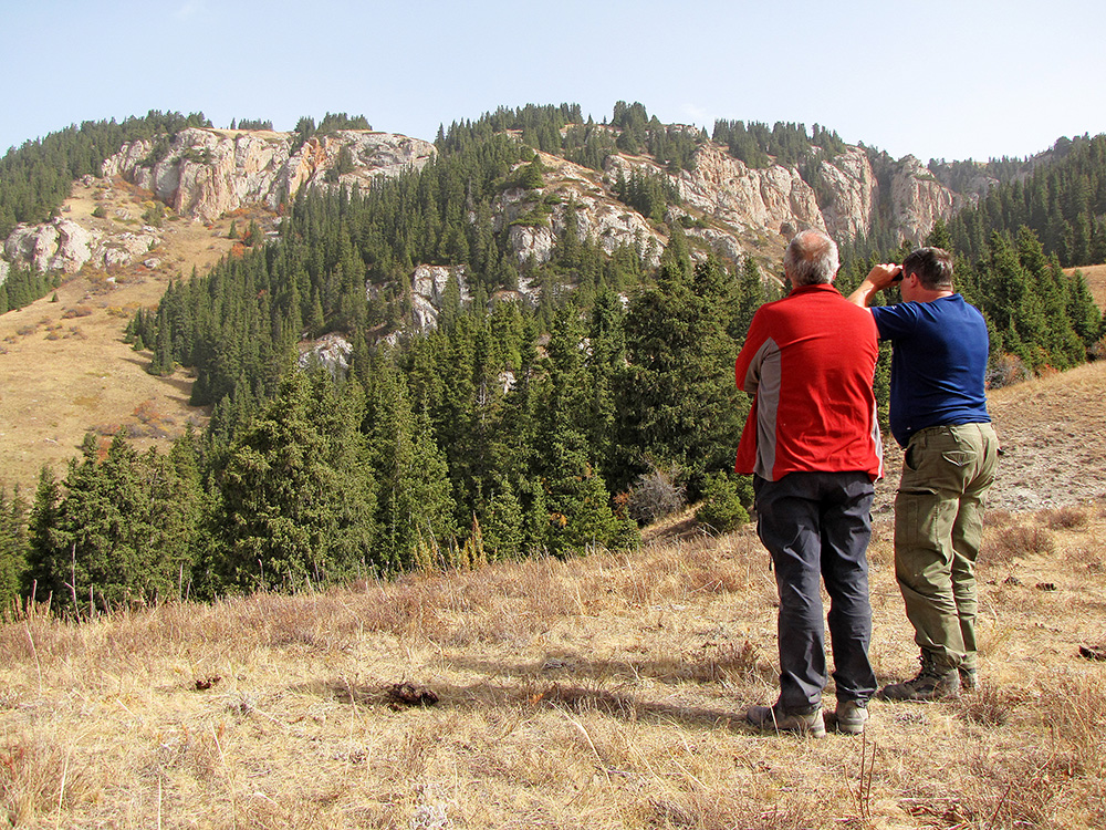
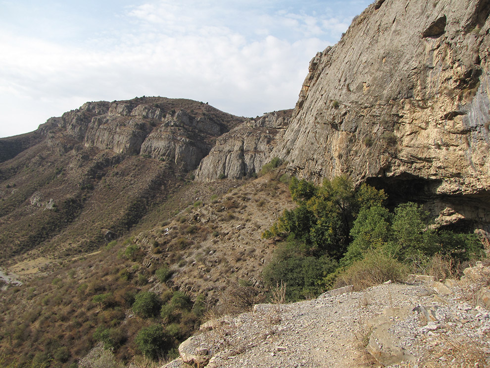
The surface of the mountain range can be depicted as scattered small plateaus. The central part of the massif is composed of horizontally occurring limestone layers, at the contact of the formations could be found cave entrances.
The Buzbu-Too is covered with snow for only two to three months in winter, while many springs are drained at the base of mountain slopes throughout the year. Permanent water sources indicate an extensive hydrogeological system inside the massif, which drains the entire area of limestone rocks composing Buzbu-Too. Possibly, cavers have a chance to find as modern active water absorption, as well as paleoponors, that can build real underground galleries.
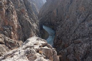
Access roads to the mountain range are led from only its northern, western and partially southern sides. The southern slopes are impregnable vertical walls forming canyons. But in some places there are trails, which lead to the upper levels of the mountain.
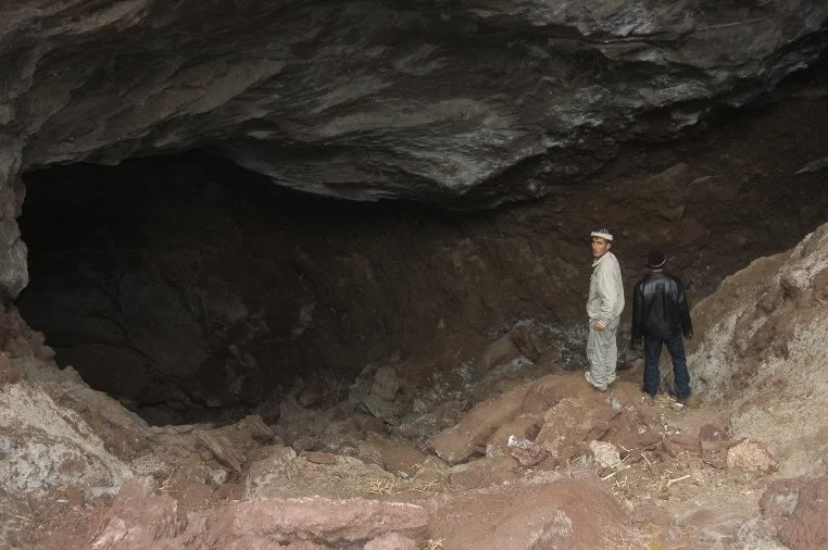
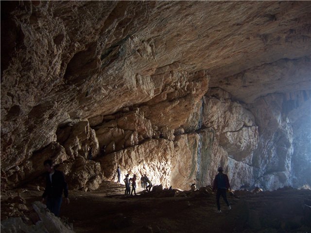
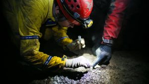
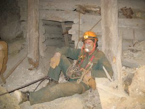
In May 2018, as a result of a reconnaissance expedition, several southern gorges of the mountain were partially surveyed. In addition, a group of cavers made a two-days trip from western part of the plateau to northern part through the plateau itself. As a result, they discovered numerous karst hypogenic forms: grottoes, niches, arches. On vertical sections of the gorges, observed attractive black holes, which can be reached only with the use of special equipment. The group had neither enough time nor resources, to study more extensive karst areas, and research attractive holes in the rocks, located in difficult to reach vertical sections.
In 2020, our Foundation intends to conduct new research works on the karst and search for caves on Mount Buzbu-Too. In our opinion, to conduct the most effective research works, the duration of the expedition should be at least 10 days. During such a period of time, could be explored quite large karst areas of Mount Buzbu-Too. And the most effective number of participants should be at least 8-10 people.
During the expedition in 2018, we learned from local residents about the existence of several caves and karst water sources at the gorges of the massif. Perhaps the locals had in mind small grottoes, but this information needs to be checked.
Everyone can take part in the expedition. The gathering of the participants should take place in the capital of Kyrgyzstan, Bishkek. If necessary, our Foundation can provide all participants with visa support to enter the country. All participants will be met at the airport and delivered to the hotel by our vehicle. Vehicles used in the expedition – mini buses Mercedes Sprinter, and off-road car to overcome rough terrains.
We provide all participants with base camps ensuring comfortable conditions for residence and working. Good tents and good meal. Our chef will cook for participants excellent three meals a day. The chef is responsible for food quality, cleanliness in a kitchen, fresh food and make field dinners when radial expeditions. The best time for the expedition is the first half of june.
An alternative research area is Chatkal mountain range, which is located north of Buzbu-Too. Chatkal is a very complex karst region, where deep canyons (up to 700 m) are difficult to access. For this expedition we want to use a military off-road vehicle. Link to Chatkal expedition 2018………………
Tasks and goals:
1. Exploring caves known by local people
2. Search and exploration of new caves
3. Research of entrances at inaccessible canyon walls.
4. Search and research of sinkholes on the plateau.
5. Geological exploration
6. Hydrogeological studies
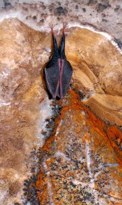
7. Speleobiological studies
Expedition route, location of the karst region