1
The Kumysh Plateau is located on the Fergana Range, 15 km west of Karasu Lake. The plateau was discovered by speleologists in 1989. The height of the plateau is more than 3,100 m. The size of the plateau is 0.7 x 0.4 km. 10 karst sinkholes were found on the plateau, confined to two parallel tectonic faults formed at a distance of 50 m from each other. The diameter of the sinkholes is from 10 to 20 m, the maximum depth is up to 3-4 m. The plateau was discovered Continue Reading
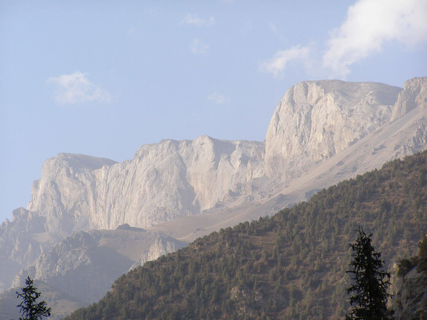
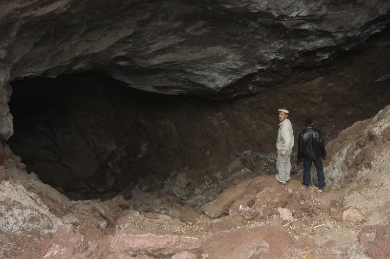
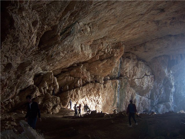
The karst region of Seresu is located on the limestone Isfan-Jayloo mountain massif, which is the north-western spur of the Fergana Range. Seresu took its name after an alpine lake located at an altitude of more than 2000 m. This beautiful place attracts many tourists and travelers. There are 3 known caves which were found during one tourist excursion of a local tourist club. Speleologists learned about the caves later. The formation of stalactites and stalagmites were found in the caves. The length of the largest cave is more than Continue Reading
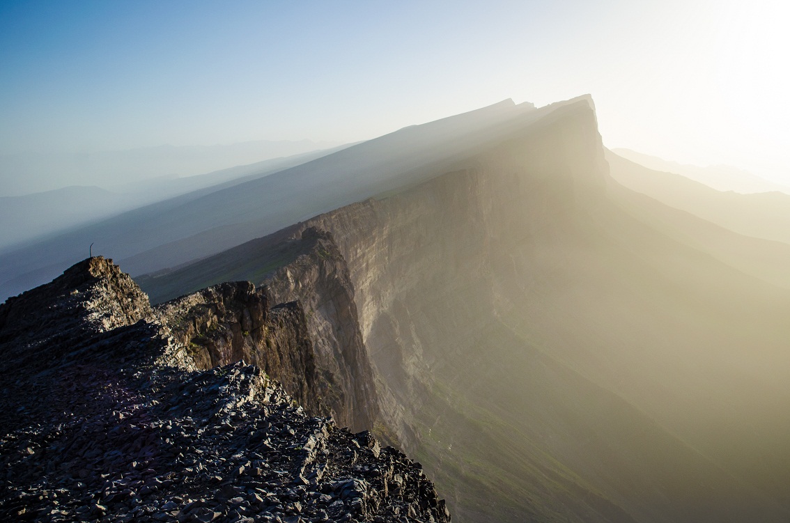
About the Tacta-Boz project: The Tacta-Boz mountain range is composed entirely of carboniferous (C) and devonian (D) limestone. This limestone represents is a single array with a many tectonic faults. The length of the mountain range is more than 50 km. The ridge is located between the Fergana Valley and the Turkestan mountain range. Geologically, it belongs to the tectonic system of the Southern Tien Shan. The mountain range is located in a sharply continental climate with hot summers and cold winters. Despite the fact that the ridge is surrounded Continue Reading
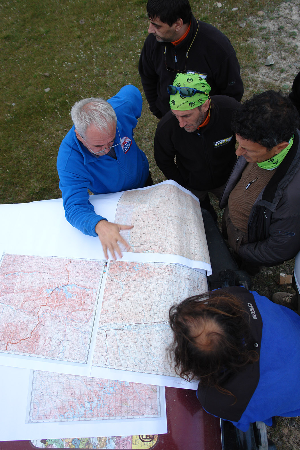
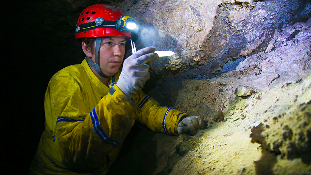
PROJECT – SPELEOSTAN. Speleological researches in Central Asia. Objectives of the project: – analysis of previous karstological and speleological studies, search for new caves, study of karst areas and caves using modern methods. The study of geology, geological history, hydrogeology, geographic conditions in various regions of Central Asia, where limestone rocks are developed. In Kyrgyzstan, karst processes are developed on the territory of about 30 thousand km2. Karst is widely distributed in the Southern Tien Shan, in the South-Western Tien Shan and Inner Tien Shan. In 1989, V.N. Mihajljov built a Continue Reading
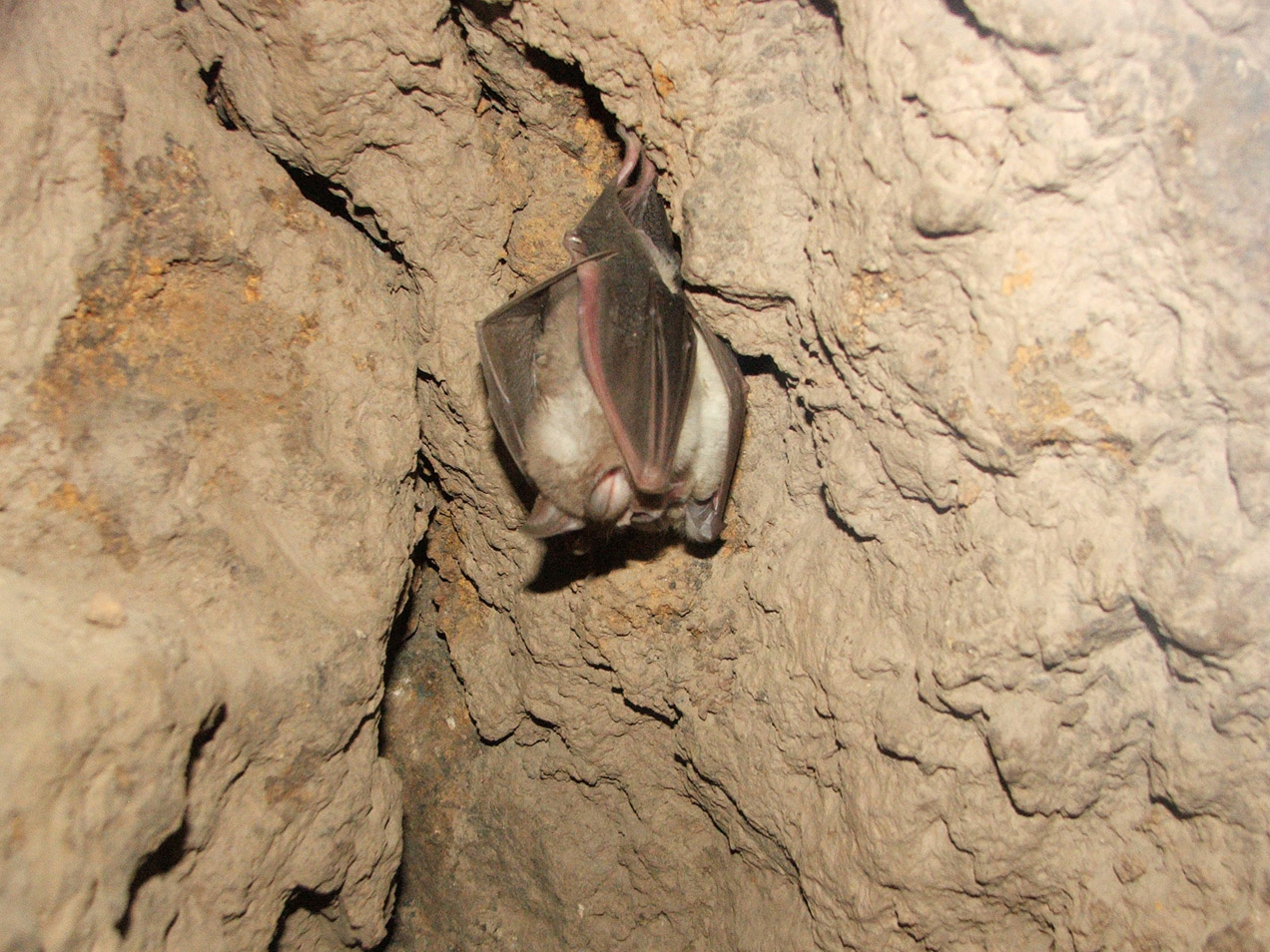
Bats of transboundary territories of Central Asia. The concept of the project. “Preservation of unique caves related to protected areas – habitats of rare bats listed in the Red Book of Kyrgyzstan, as objects of science and education.” In this project, the SIP Foundation acts as a partner of the Tien Shan Geological Society. The project is funded by GEF-UNDP through the Small Grants Program. The tasks of the FSIP are scientific advice, recommendations and the development of a methodological – scientific manual for the preservation of caves. Bats of Continue Reading
Underground Habitats as a Unit for Conservation of Vulnerable Bat Communities in South-Western Kyrgyzstan The south-western part of Kyrgyzstan is a transboundary territory situated between Tajikistan and Uzbekistan. The region is mountainous with karst relief and encloses the southern wall of Fergana Valley. These characteristics suggest a variety of underground habitats which play an important role for bat communities. The life cycle of the cave-dwelling bat species is closely related to the underground sites. Moreover, they form nursery colonies in the summer, which have high conservation priority. The conservation significance Continue Reading
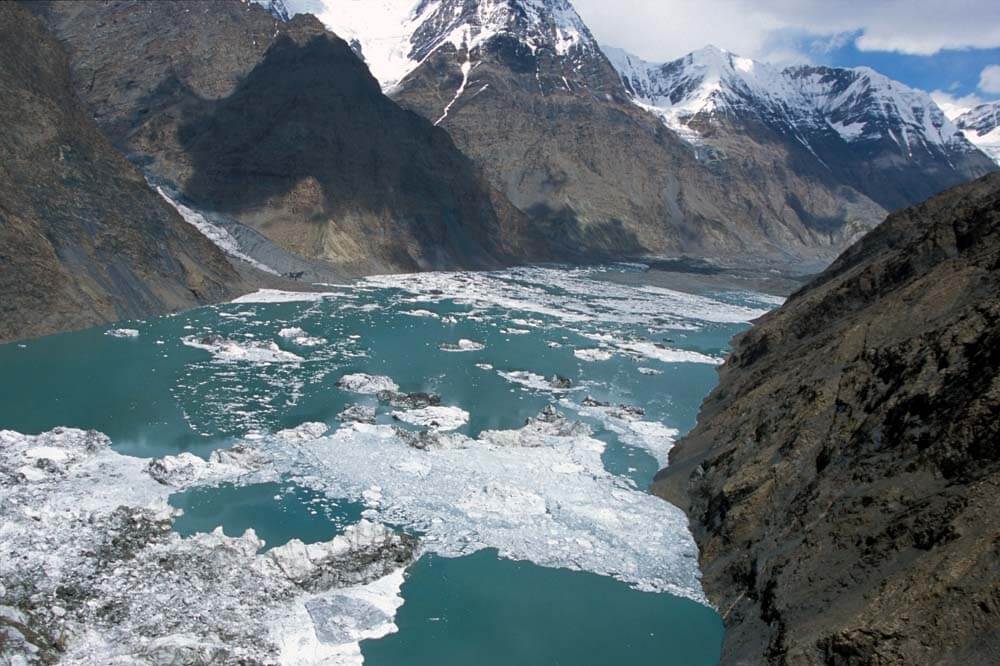
Intra-glacial drainages of Enilchek. The concept of this project is exploration the drainage system of lake Merzbacher. The internal drainage system of the Enilchek glacier has not been studied to date. One of the largest glaciers in Asia (over 65 km long) has a well-developed internal drainage system that extends from the ice stream to heights over 4000 m above sea level and has a length of tens of kilometers. The lower 14 km part of the drainage system is formed (or transformed) as a result of the action of Continue Reading