1
The Central Tien-Shan is not only the Center of Eurasia, but also the place where almost all the water resources of Central Asia are formed. The highest mountain elevations are natural accumulators of the northern moisture-laden air currents. More than 75% of all water resources of the Tien-Shan belong to the Aral Sea, and more than 12% to the Chinese Tarim.
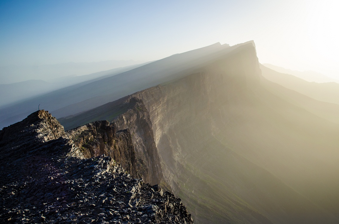
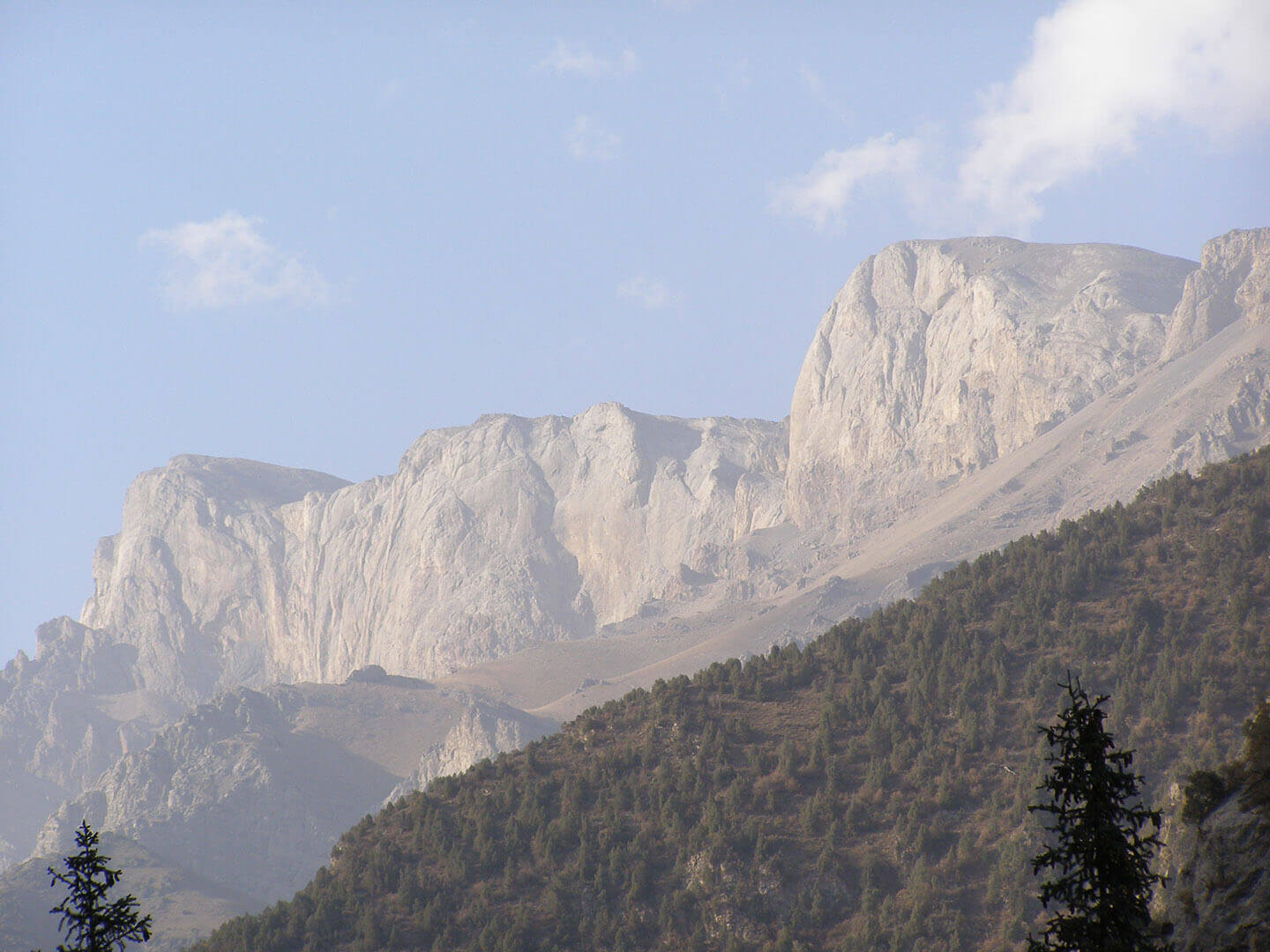
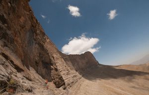
The Enilchek Glacier is one of the largest mountain glaciers in the world. It is located in the Central Tien-Shan on the area of Kyrgyzstan. The glacier is formed as a result of the confluence of two large glaciers, the Northern Enilchek and the Southern Enilchek. The result of their confluence is the periodically disappearing MerzbacherLake.
Southern Enilchek – the largest glacier in Tien-Shan. Its length is 60.5 km with an area of 567.2 km². The glacier begins in huge circus-shaped firn basins at an altitude of up to 7440 m, on the slopes of the highest peaks of Tien-Shan: Khan-Tengri and Pobeda. The length of the glacier tongue is 43.2 km with an average width about 2.2 km. The tongue of the glacier descends to a height about 2800 m a.s.l., with an average surface gradient about 2 degrees. At the same time, it receives 78 large and small glacier-tributaries from both sides. The ice thickness in the main flow of the glacier reaches 150-350 m. The lower 14 km of the glacier tongue are covered by a layer of moraine.
The thickness of the glacier consists from 3 layers: the upper layer has a thickness up to 50 m, the middle layer is about 45 m, the lower layer is about 80 m. Scientists assume that such structure of the glacier matters when the world’s largest drainage channel system is formed at the contacts of these layers and also on the contact of ice and the bedrock on the glacier bed.
Each year the largest high-altitude glacial lake in Eurasia located at the confluence of two large glaciers suddenly disappears. This happens usually every July – August, when the volume of water in the lake reaches its critical point. Scientists have been trying to understand this interesting phenomenon for the last 50 years.
In this regard, scientists suggest that a study of the intraglacial drainage channels through which water outburst from the lake may provide an answer to some scientific hypotheses about the reasons of the lake disappearance.
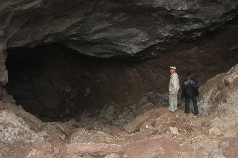
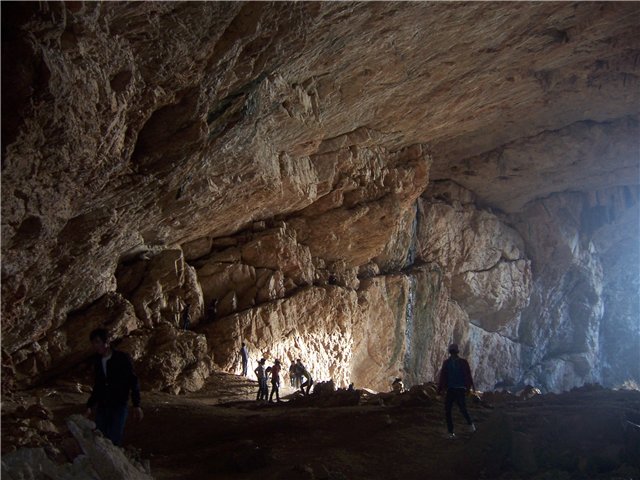
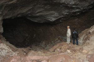
Therefore, our expedition plans to study the intraglacial drainage channels of the Enilchek glacier. The internal drainage system of the glacier may become the largest intraglacial cave system in Eurasia.
About the Merzbacher Lake
One of the largest mountain glacial lakes in the world discovered by the German geographer, cartographer and mountaineer Gottfried Merzbacher during his expedition to the summit of Khan Tengri in 1903. During this expedition was discovered one of the largest glaciers of Central Asia – the Enilchek.
Until 1931 the lake remained unknown. During a Soviet expedition on the peak of Khan Tengri led by Mikhail Pogrebetsky the lake was named after its discoverer Gottfried Merzbacher.
Scientists suggest that the lake was formed at the end of the Little Ice Age, i.e. in the middle of the XIX century.
In 1960, the length of the lake was more than 3000 m with a width about 1000 m. The modern length of the lake is about 2.5 km; the average depth is 30 m. The outburst of the lake is prolongated about 2-3 days. The discharge of water outflowing from the tongue part of the glacier reaches 1000 m3 per second.
The critical moment before the outburst of the lake comes when the volume of water in the lake reaches from 120 to 200 million m3.
According to recent studies lake outbursts occur when the water temperature in the lake rises to 10-15°C. According to one of the hypotheses the mechanism of the lake’s outburst is happen due to the fact that the ice dam closing the way for water into the glacier, breaks away from the mother glacier and begins to rise. A gateway effect occurs. At this time, the water flow under high hydraulic pressure and the growth of its power rushes inside the glacier. Water produces channels, expands them and gets in contact with the bedrock. As a result the drainage system of the MerzbacherLake is formed.
The connection of the drainage channels of the lake with the internal drainage system of the glacier itself leads to the formation of the world’s largest internal drainage system, and the mountainous MerzbacherLake located at an altitude of more than 3000 m above sea level plays an important role in maintaining of it.
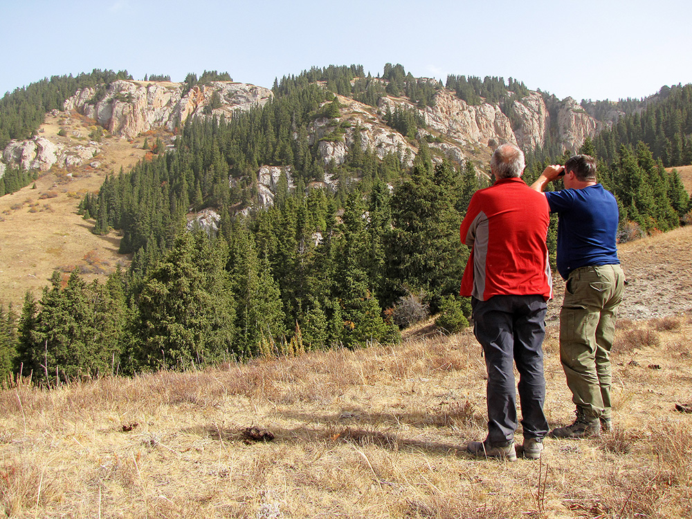
About the expedition
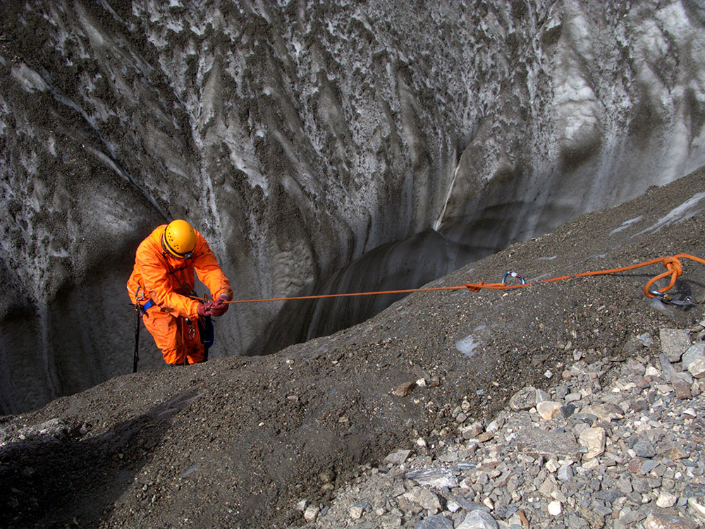
We assume that in November, when the glacier is already covered by cold, scientists and athletes will be able to explore channels of the internal glacial systems.
These studies can be part of scientific and applied results on the study of climate change on the Earth. These studies can be outstanding researches on the study of glacial caves.
No one has ever explored such a large internal drainage system in an active, dynamic mountain glacier. Therefore, if we conduct a successful study of this system, some issues of the formation of such drainage systems not only on this glacier, but also in other glaciers on Earth, will become clear.
This project has two complex and important motivations: First, a very high scientific and applied value of the results obtained during risky studies inside the glacier. Secondly, the organization of security studies with the support of professional speleologists and athletes who will face the study of the largest glacier on the Tien-Shan for the first time.
The success of the expedition and the results obtained can put these studies among the outstanding researches ever conducted in the world.
Expedition objectives
The main task of the expedition is to study the internal drainage system of the Enilchek Glacier. It is planned the exploration and passage of entrances through the vertical sections of the system – moulins (upper and middle part of the drainage system), as well as horizontal sections of the system at the outflow of the water from the glacier (lower part of the system). These glacial cavities should be connected to the main channels of the drainage system. Nobody knows how does this connection happen (via siphon channels or not). If it will be possible to penetrate into the main arteries of the internal drainage, it will make possible the understanding of the general structure of the drainage system, its position inside or under the ice, and, accordingly, the origin of the drainage system, as well as its dynamics over time, and its dependence on climate change. Perhaps this will also allow the understanding of the principle and structure of the drainage of MerzbacherLake, waters of which use the channels of the internal drainage system of the glacier for annual discharge of water.
Penetration into the main channels of the internal drainage system will allow to explore the world’s largest glacial cave, because only from the Merzbacher Lake to the tongue of the glacier the distance is about 14 km, and the cave can reach further up the glacier, that is above the place where the lake is located.